-
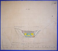
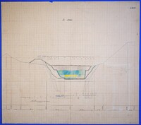
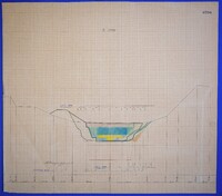
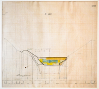
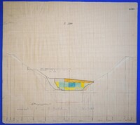
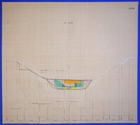
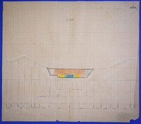
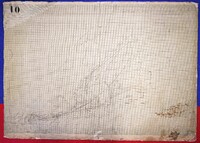
Color drawing of excavation progress (Longitudinal Section) of kilometer point 5260 in ink and colored pencil on graph paper.
-
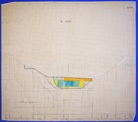
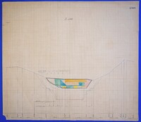
Color drawing of excavation progress (Longitudinal Section) of kilometer point 5270 in ink and colored pencil on graph paper.
-
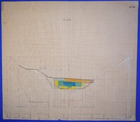
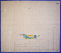
Color drawing of excavation progress (Longitudinal Section) of kilometer point 5280 in ink and colored pencil on graph paper.
-
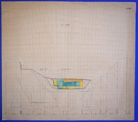
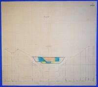
Color drawing of excavation progress (Longitudinal Section) of kilometer point 5290 in ink and colored pencil on graph paper.
-
Color drawing of excavation progress (Longitudinal Section) of kilometer point 5300 in ink and colored pencil on graph paper.
-
Color drawing of excavation progress (Longitudinal Section) of kilometer point 5310 in ink and colored pencil on graph paper.
-
Color drawing of excavation progress (Longitudinal Section) of kilometer point 5320 in ink and colored pencil on graph paper.
-
Color drawing of excavation progress (Longitudinal Section) of kilometer point 5330 in ink and colored pencil on graph paper.
-
Color drawing of excavation progress (Longitudinal Section) of kilometer point 5340 in ink and colored pencil on graph paper.
-
Color drawing of excavation progress (Longitudinal Section) of kilometer point 5350 in ink and colored pencil on graph paper.
-
Color drawing of excavation progress (Longitudinal Section) of kilometer point 5360 in ink and colored pencil on graph paper.
-
Color drawing of excavation progress (Longitudinal Section) of kilometer point 5370 in ink and colored pencil on graph paper.
-
Color drawing of excavation progress (Longitudinal Section) of kilometer point 5380 in ink and colored pencil on graph paper.
-
Color drawing of excavation progress (Longitudinal Section) of kilometer point 5390 in ink and colored pencil on graph paper.
-
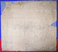
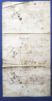
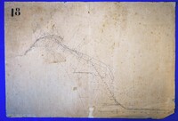
Horizontography of part of the Isthmus with elevational curves and illustration of the Canal's engraving.
-
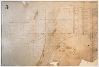
General plan on the horizontal plane
-
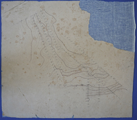
Horizontography of a section of the Canal with contour lines.
-
General plan on the horizontal planeand two intersections
-
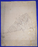
Horizontal drawing with contour curves.
-
Horizontography with isosceles curves.
-
Horizontography with isosceles curves.
-
Horizontography of a section of the Canal with contour lines.
-
General plan on the horizontal plane, longitudinal section and stratigraphic columns.
-
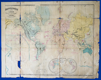
In the lower right part, a geophysical map in two hemispheres is depicted. Marine zones are marked in red on the map. Created by J. Sedille.
-
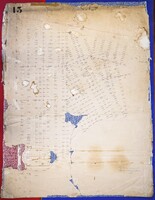
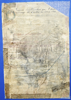
Additional right of way for installations... from the landfill site to point 2200
